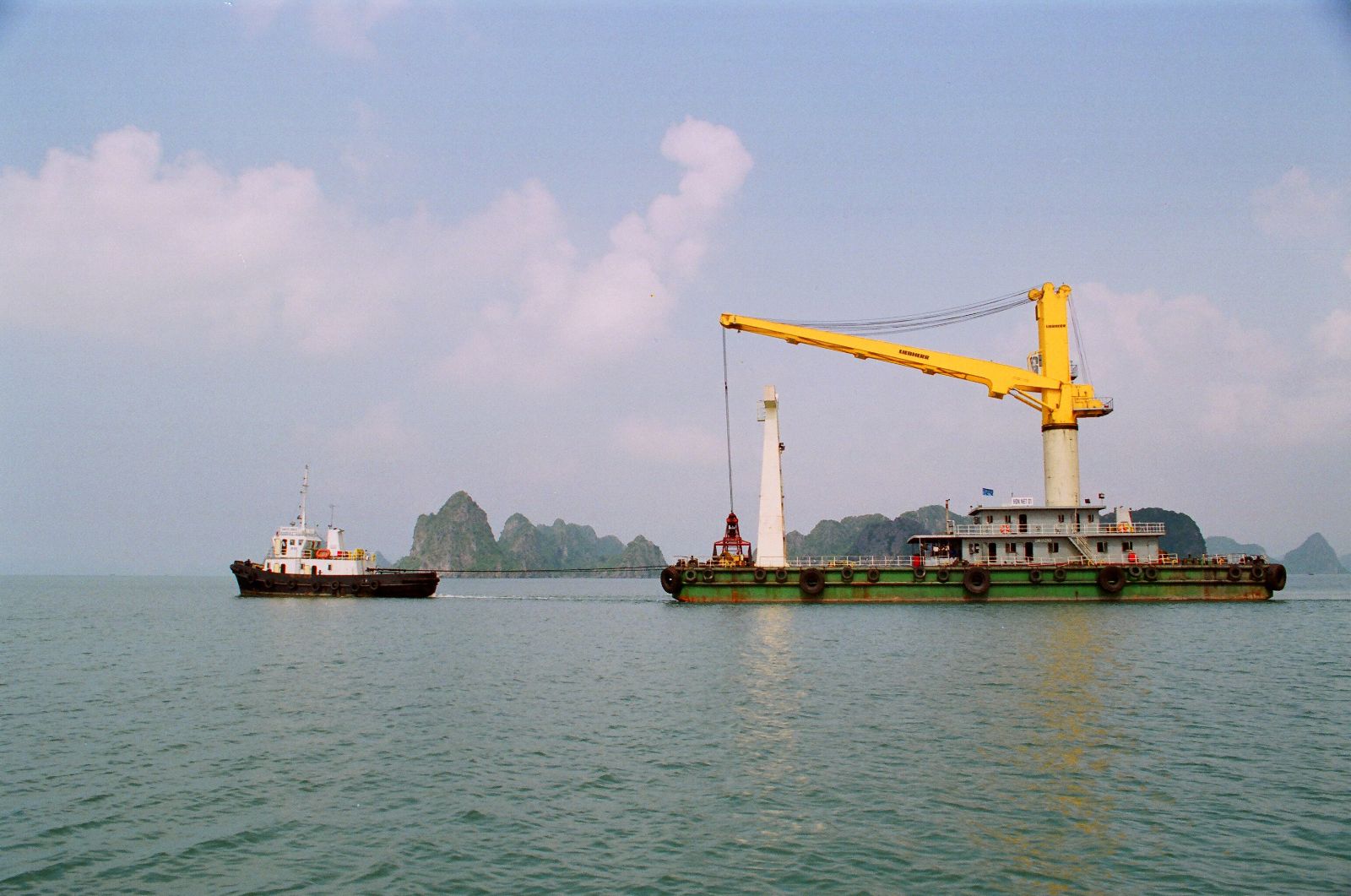
Cam Pha Port

+ At berth :
- Distance from P/stn : 26 miles
- The depth of channel : 7.3M at chart datum (zero tide)
- Max draft permissible : 95M subject to tide condition.
- Loa/225M, Beam/33M, No limitation on air draft.
- UKC required : 1.0M, Water density : 1.019-1.020 (it may changed subject to Raining Volume)
- Loading facilities : 02 conveyor belt systems
- Loading rate : approx. 18,000MT/wwd
+ At anchorage :
- Distance from P/stn : 10 miles
- The depth of channel : 10.6M at chart datum (zero tide)
- Max draft permissible : 13.0M subject to tide condition.
- Loa/225M, Beam/33M, No limitation on air draft.
- UKC required : 1.0M, Water density : 1.021-1.022 (it may changed subject to Raining Volume)
- Loading facilities : by ship's cranes/grabs, shore grabs with cargo barges alongside vessel.
- Loading rate : approx. 5,000MT/wwd based on 03-04 working gangs.
Ho Chi Minh city port (river port)
Pilot station position:10 Deg 17.04”3 N, 107 Deg 05.17” E
Ports: Nha Rong, Khanh Hoi, Tan Thuan, Ben Nghe, Lotus, Nhabe, Catlai...
Vungtau port area (seaport)
Pilot station position:10 Deg 17.04”3 N, 107 Deg 05.17” E
Ports: Go Dau, Phumy ports, Caimep ports, Vietsovpetro, PTSC.
Danang port area (seaport)
Pilot station position: 16 Deg 10N; 108 Deg 11E
Ports: Song Han, Tien Sa, My Khe, Lien Chieu
Haiphong port area (river port)
Pilot station position: 20 Deg 40N; 106 Deg 51E
Ports: Dinh Vu, Thuong Ly, Chua Ve, Doan Xa
Cai Lan Port
Pilot station: L' Orange Island, Lat. 20o43' 4''N, Long. 107o10' 3''E
Pilot boards about 0.5NM at the South of L'Orange Island, VHF contact CH.16
Pilotage: Distance from Pilot station to the port: 21 miles