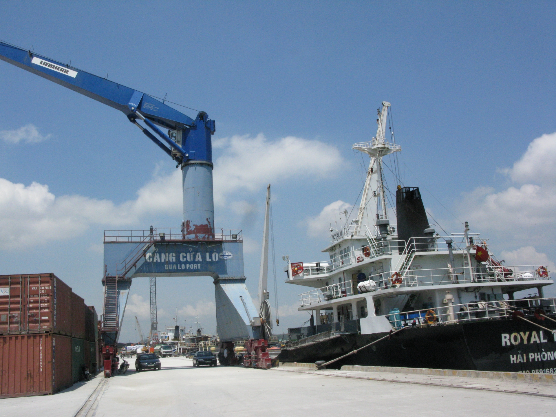
Cua Lo Port
|
A. PORT CHANNEL |
|||
|
1. Min. Depth below chart datum: |
4.40 m |
||
|
2. Min Width |
80 m |
||
|
3. Quality of Bottom |
Sand bottom |
||
|
4. Required UKC |
0.30 M |
||
|
5. Dredging plan & maintenance |
One in every year |
||
|
B. TURNING BASIN |
|||
|
1. Location |
180 50’ 2 N – 1050 42’ 2 E |
||
|
2. Diameter |
250 m |
||
|
3. Min. Depth below chart datum |
7.00 m |
||
|
4. Quality of bottom |
Sand bottom |
||
|
5. Required UKL |
0.30m for day time; 04m for night time |
||
|
C. ANCHORAGE ZERO BUOY: 180 49’ 7’’ N – 1050 44’ 4’’ E |
|||
|
1. Location |
180 48’ N - 1050 45’ E |
||
|
2. Area L & B |
Distance fr anchorage to berth: 6 miles |
||
|
3. Depth |
9.50 M |
||
|
4.Quality of Bottom |
Sand |
||
|
D. NAVIGATION AID |
|||
|
1. Channel buoys |
09 buoys |
||
|
2. Beacons |
01 near pilot station |
||
|
3. Transit Marks |
Nil |
||
|
4. Others |
|
||
|
E. PILOTAGE |
|
||
|
1. Number of Pilot |
6 pilots |
||
|
2. Pilot Station |
180 48’ 30’’ N – 1050 45’ 12’’ E |
||
|
3. Service hours |
Day-time for vsl’s LOA over 120M |
||
|
4. Communication between pilot and vsl |
By VHF – Channel 16 |
||
|
5. Maneuvering methods in the harbor |
Threw Heaving line on shore or mooring boat if big vessel |
||
|
F. TUG BOAT |
|||
|
1. Number of tug boat |
3 tug boats |
||
|
2. Type & Horse Power |
01 tugs of 490 HP, 01 tug of 800HP, 01 tug of 850HP |
||
|
3. Tower Rope |
Vsl’s rope |
||
|
4. Where making fast tugs when entering & dismissed when departure |
Tug always standby at port |
||
|
5. Criteria for numbers of tugs for vsl entry & departure |
Required 02 tugs |
||
|
6. Install VHF on Tug boat or not |
VHF installed on Tug Boats |
||
|
7. Operating Criteria |
Wind under 6th force |
||
|
8. Owner & Operator |
Cualo Port Stevedore Company Tel: 84-38-944631 Fax: 84-38-847142 |
||
|
H. BERTH FACILITY – 4 berths available |
|||
|
1. Name of berth |
Cualo port, public port |
||
|
Max allowable size and approaching speed DWT |
Depending on ship’s particular |
||
|
LOA |
160m. At this moment available tug is 490HPx1 and 800HPx2 therefore if owner, charterer appointed vsl LOA above 140m, aditional tug 1200HP hv to hire from other port with expensive amount. Pls take note |
||
|
BEAM |
25m |
||
|
Depth |
6.0 m |
||
|
Draft |
6.70m at high tide 2.50m after less Required 0.30 UKC |
||
|
Speed |
Pilot’s order |
||
|
2. Water depth below mean L.W. springs |
|
||
|
3. Required UKC |
0.30 m |
||
|
4. Length |
350 each |
||
|
5. Width of Apron |
50 |
||
|
6. Height of deck level above C.D |
3.00 m |
||
|
7. Max size of vsl ever accommodated |
No restriction |
||
|
8. Fender Type and materials |
40cm-diameter rubber fender |
||
|
Number & interval |
50 fenders/150m - 3.00 m interval |
||
|
9. Mooring Bit |
60T |
||
|
10. Berth available & occupancy |
4 berths No. 1 – No. 2 - No. 3 - No. 4 |
||
|
11. Priority System |
Priority given to Foreign vsl |
||
|
12. Availability of fresh water |
Both shore connection and barge |
||
|
13. Bunker supply |
Available DO/FO DO Available supplied both at berth ( by tanker truck) & anchorage ( by barge tanker). FO available at berth only ( by tanker truck). FW available at berth & anchorage |
||
|
14. Installation of docking sonor |
|
||
|
15. Others/ water gravity |
As 7.20 m depth, most of vsl entry & departure has to wait for high tide round 2.00 – 2.80 m |
||
|
16. Restriction |
For vsl’s LOA more than 120 m, light time entry and departure compulsory. |
||
|
I. LOADING CAPACITY |
|||
|
Type and number of loader |
Mobil crane available; Kangaroo crane 40MT/01 unit |
||
|
Clear height from chart datum |
8.50 m |
||
|
Out reach from fender face |
6.00 m |
||
|
Traveling range |
Mobil crane |
||
|
Loading capacity |
1000 - 1500MT/day |
||
|
Communication system between vsl and loading operator. |
Boarding officers or by VHF |
||
|
J. COMMUNICATION |
|||
|
Address |
Cualo port, Nghe an Pro., Vietnam Tel: 84-38-944631/944131 fax: 84-38-944317 |
||
|
Items of necessary information |
There has been frequently many 5,000 – 15000 DWT vsl entry and depart safely. In case of draft restriction, lighterage shall take place at anchorage position |
||
|
Communication between vsl and port |
By VHF – channel 16 |
||
|
K. QUARANTINE |
|||
|
Availability of radio pratique system |
Nil |
||
|
Quarantine station |
Pilot Station |
||
|
Service hours |
Comprehensive hours |
||
|
Necessity Documents |
Derating Exemption Certificate |
||
|
L. CUSTOM AND IMMIGARTION |
|||
|
Place where officers boarding |
Pilot station |
||
|
Service hour |
0600 – 2300 even holiday |
||
|
Documents |
Required as in any Vietnam International port |
||
Ho Chi Minh city port (river port)
Pilot station position:10 Deg 17.04”3 N, 107 Deg 05.17” E
Ports: Nha Rong, Khanh Hoi, Tan Thuan, Ben Nghe, Lotus, Nhabe, Catlai...
Vungtau port area (seaport)
Pilot station position:10 Deg 17.04”3 N, 107 Deg 05.17” E
Ports: Go Dau, Phumy ports, Caimep ports, Vietsovpetro, PTSC.
Danang port area (seaport)
Pilot station position: 16 Deg 10N; 108 Deg 11E
Ports: Song Han, Tien Sa, My Khe, Lien Chieu
Haiphong port area (river port)
Pilot station position: 20 Deg 40N; 106 Deg 51E
Ports: Dinh Vu, Thuong Ly, Chua Ve, Doan Xa
Cai Lan Port
Pilot station: L' Orange Island, Lat. 20o43' 4''N, Long. 107o10' 3''E
Pilot boards about 0.5NM at the South of L'Orange Island, VHF contact CH.16
Pilotage: Distance from Pilot station to the port: 21 miles