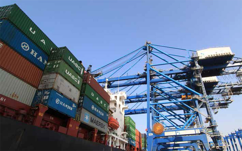
Vungtau port area (seaport)
Pilot station position:10 Deg 17.04”3 N, 107 Deg 05.17” E
Ports: Go Dau, Phumy ports, Caimep ports, Vietsovpetro, PTSC.
Access channel: 10-28 miles far from Vungtau pilot station. Draft 8m (Go Dau, Vietsovpetro, PTSC) and 12-14m (for Phumy ports, Caimep ports).
Tidal range: Irregular diurnal with average tide range 0.5M - 3.8m.
Handling: Pax, bulk, equipments, chemical, LPG.
Offshore terminals: Bach Ho, Rang Dong, Dragon, Ruby, Dai Hung. It is about 60-130miles far from Vungtau Pilot station.
Dong Nai Port
- Access river:: Thi Vai river
- Access channel length: 28 miles long from Vung Tau anchorage point
Cua Lo Port
1. Location: 180 50’ 2 N – 1050 42’ 2 E
2. Diameter: 250 m
3. Min. Depth below chart datum: 7.00 m
Nha Trang Port
1. Min. Depth below chart daum: 11.00
2. Min Width: 100.00
3. Quality of Bottom: Sand and mud
Vung Ang Port
1. Min. Depth below chart datum: -11.80m
2. Min Width: 150m
3. Quality of Bottom: Mud, Sand and some clay